Bhopal, Madhya Pradesh
Trusted Mining Consultants Since 2000

Advanced Mining &
Environmental
Consultancy

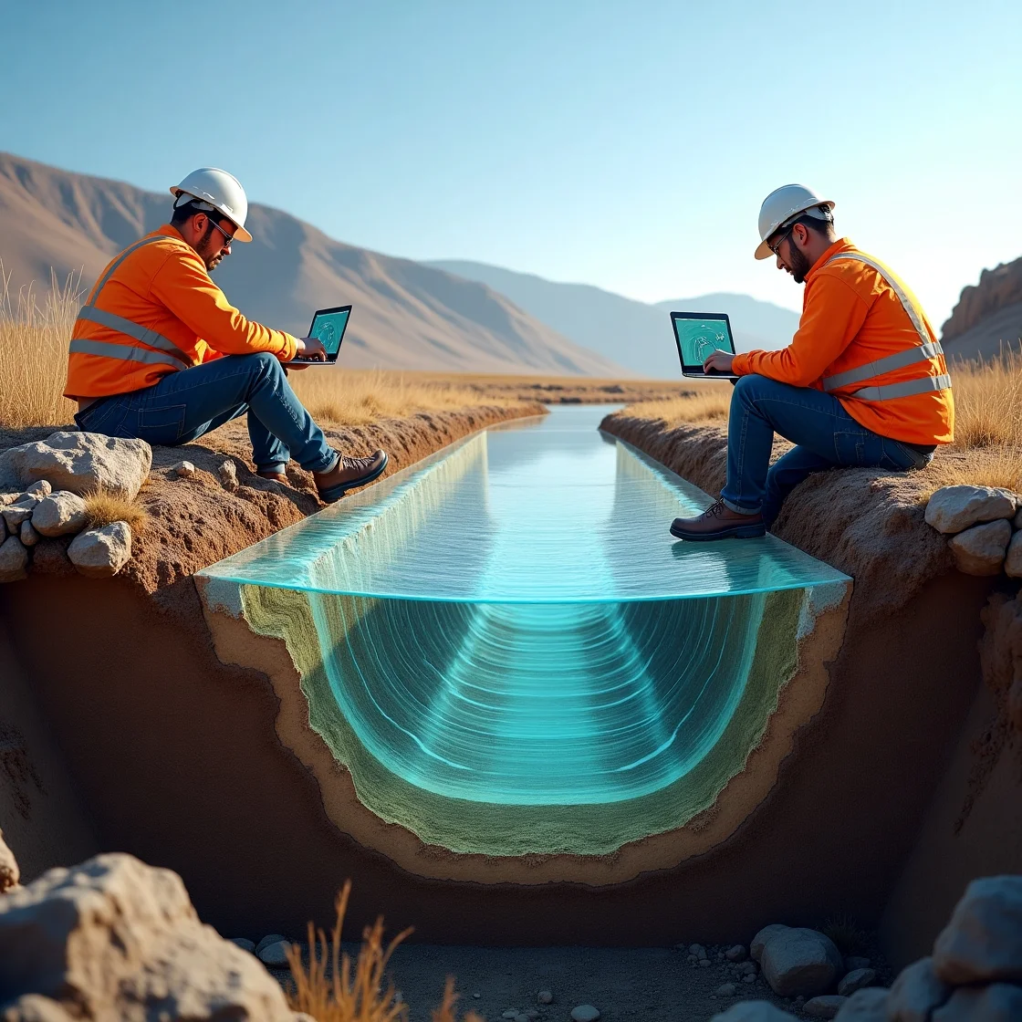
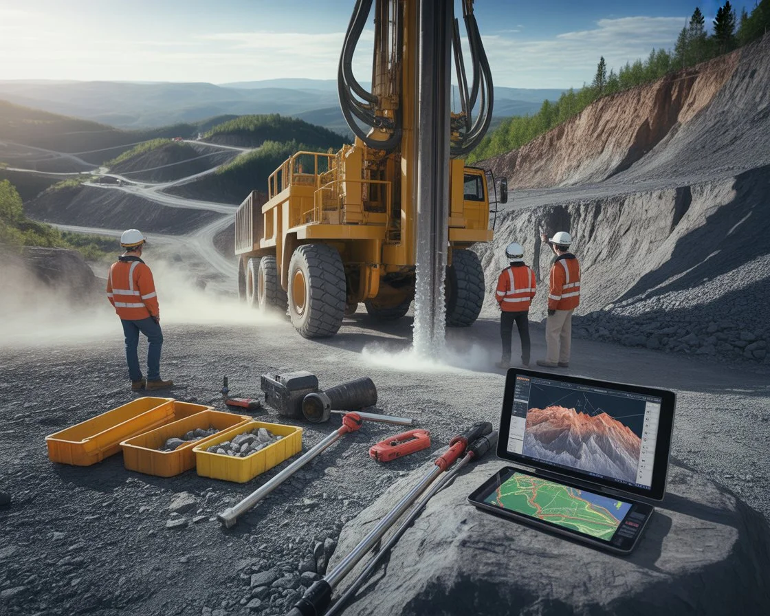
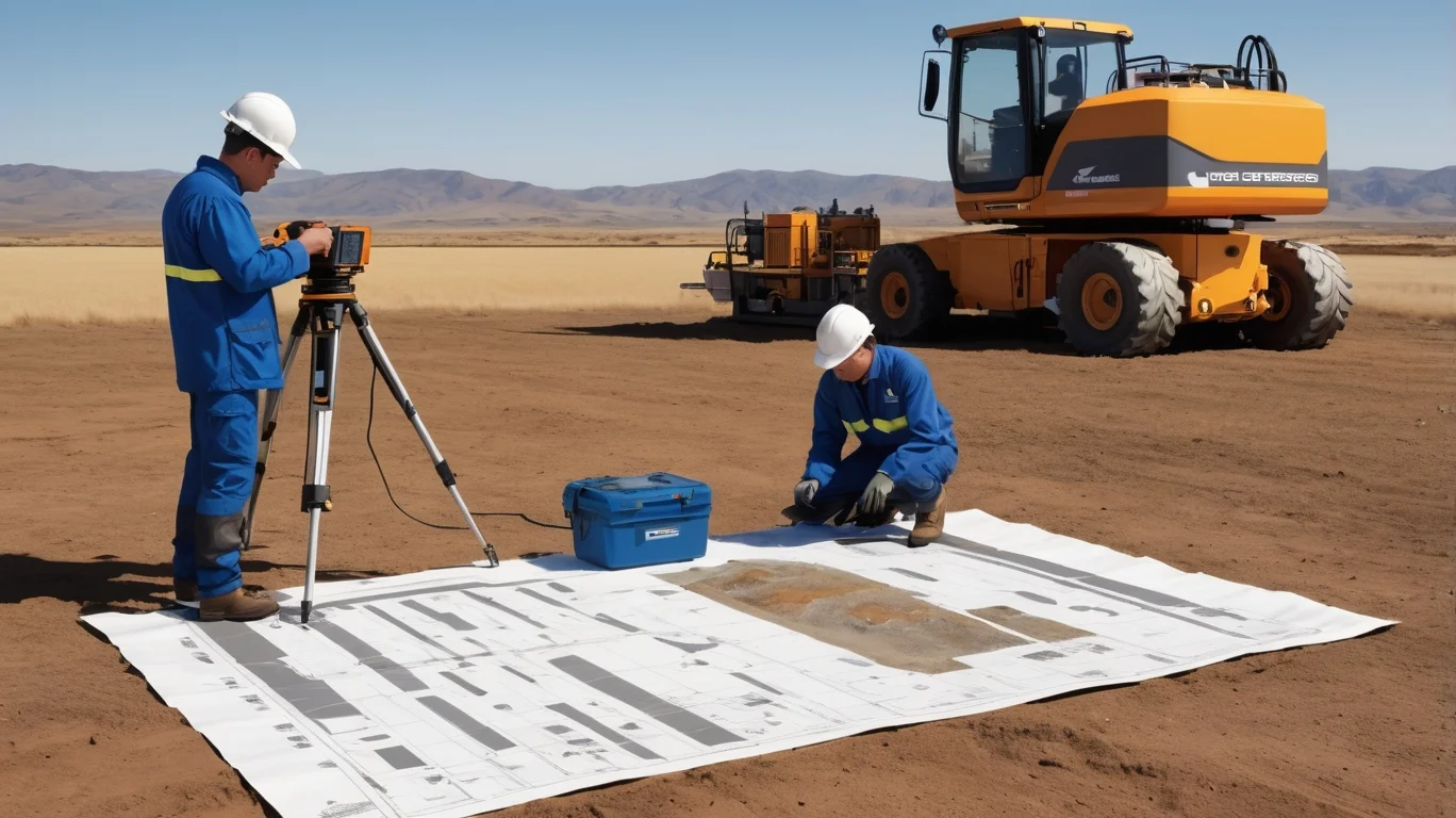
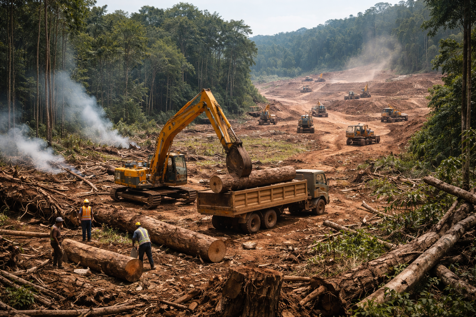
Precision Mining Solutions with DGPS, Drone Survey & GIS Mapping. We help mining projects achieve regulatory compliance, accurate land surveys, and sustainable resource development across India.

0+ Projects
0+ Clients
0+ Years
0% Satisfaction
DGPS Survey Sub-cm Accuracy
Drone Mapping HD Aerial Survey
Eco Clearance MoEF Approved
Scroll Down

Trusted By India's Leading Mining Companies

Coal India Limited
CIL Coal India Limited
National mineral Dev Limited
NMDC National mineral Dev Limited
Hindustan Copper Limited
HCL Hindustan Copper Limited
Oil & Natural Gas Limited
ONGC Oil & Natural Gas Limited
Mineral Exploration
MECL Mineral Exploration
Geological Survey oF India
GSI Geological Survey oF India
Bharat Gold Mines Limited
BGML Bharat Gold Mines Limited
GSME Mining Operations
+
Years of
Excellence
Survey Team
Drone Survey
About GSME

About GSME Enterprises

A Premier Mining & Environmental Consultancy from Bhopal, MP

GSME Enterprises is a leading mining and environmental consultancy firm based in Bhopal, Madhya Pradesh. With over 24 years of experience, we provide expert services in mining plan preparation, environmental clearance, pollution control documentation, and advanced geospatial surveying using DGPS, drone technology and GIS systems.

Licensed Mining Plan Preparers
Certified Environmental Consultants
DGPS & Drone Survey Specialists
Forest & Environmental Clearance Experts
GIS & Remote Sensing Professionals
Pan-India Project Experience
Know More About Us
Call Us Anytime +91 88711 17481
Our Work

Projects & Case Studies

Delivering excellence across diverse mining and environmental projects across India

Geological Survey

Mining Geological Survey

Chhattisgarh Coal India Limited 2024
Geological Survey

Mining Geological Survey

Chhattisgarh, India

Forest Compliance

Forest Clearance Study

Madhya Pradesh Adani Mining 2023
Forest Compliance

Forest Clearance Study

Madhya Pradesh, India

Drone Survey

Drone Based Area Mapping

Jharkhand Tata Steel 2024
Drone Survey

Drone Based Area Mapping

Jharkhand, India

Hydrogeology

Groundwater Investigation

Rajasthan Vedanta Ltd 2024
Hydrogeology

Groundwater Investigation

Rajasthan, India

EIA Study

Environmental Impact Assessment

Odisha NMDC Limited 2023
EIA Study

Environmental Impact Assessment

Odisha, India

DGPS Survey

River Valley Project Survey

Bihar Coal India Limited 2024
DGPS Survey

River Valley Project Survey

Bihar, India

Our Technology

Modern Surveying Technology

We use cutting-edge equipment and industry-leading software for precise, reliable results

Drone Photogrammetry

DJI professional UAV systems with 20MP cameras for aerial photogrammetry and orthophoto generation

GIS Mapping (ArcGIS/QGIS)

Advanced GIS software for spatial data analysis, thematic mapping and land use classification

Remote Sensing

Sentinel, Landsat and LISS satellite imagery processing for large-scale environmental monitoring

Geo-Technical Investigation

SPT, bore logging and soil testing equipment for detailed geotechnical characterization

Environmental Monitoring

CPCB-approved ambient air, noise and water quality monitoring equipment and laboratory analysis

DGPS SURVEY

Technology used for Mining

What We Do

Our Core Services

Comprehensive mining & environmental solutions tailored for your project requirements across India

Mining Consultancy

Mining Consultancy

Expert mining plan preparation, mine opening permission, progressive mine closure plans and liaison with IBM & state mining departments.

Mining Plan IBM Approval MCP
Know More
Environmental Compliance & EIA

Environmental Compliance & EIA

Complete Environmental Impact Assessment, environmental management plans and clearance support from MoEF, SEIAA and state pollution boards.

EIA Report MoEF SEIAA
Know More
Pollution Control Documentation

Pollution Control Documentation

Consent to Establish (CTE) and Consent to Operate (CTO) documentation preparation for MPPCB and CPCB compliance requirements.

CTE CTO MPPCB
Know More
DGPS Survey

DGPS Survey

High-precision Differential GPS surveys for mine boundary demarcation, topographic mapping, volume calculation and cadastral surveys.

Boundary Survey Topo Map Volume
Know More
Drone Survey & Mapping

Drone Survey & Mapping

UAV-based photogrammetry for stockpile volumetric measurement, progress monitoring, site mapping and high-resolution orthophoto generation.

UAV Photogrammetry Stockpile
Know More
GIS & Remote Sensing

GIS & Remote Sensing

ArcGIS & QGIS-based spatial analysis, satellite imagery interpretation, land use land cover mapping and thematic map preparation.

ArcGIS LULC Mapping
Know More
Hydrogeology Survey

Hydrogeology Survey

Groundwater assessment, aquifer characterization, hydrogeological mapping and water table monitoring for mining projects.

Groundwater Aquifer Water Table
Know More
Forest Clearance Assistance

Forest Clearance Assistance

Complete support for forest land diversion proposals, working plan preparation and documentation under Forest Conservation Act 1980.

FCA 1980 Diversion DFO
Know More
Geo Technical Investigation

Geo Technical Investigation

Soil investigation, rock quality designation, bearing capacity tests and geotechnical reports for mining infrastructure projects.

Soil Test RQD Bearing
Know More
Why GSME

Why Why Choose Us?

We combine deep industry expertise with modern technology to deliver superior results for mining and environmental projects across India.

Experienced Mining Engineers

Team of certified geologists, mining engineers and environmental scientists with 24+ years experience.

Advanced Survey Technology

Latest DGPS, drone photogrammetry and GIS systems for sub-centimeter precision results.

Complete Regulatory Compliance

Deep knowledge of MoEF, IBM, MPPCB and Forest Department regulations and procedures.

End-to-End Project Support

From initial geological survey to final approval — complete project management support.

GSME Team Survey Operations
25+ Years Trusted Expertise
0 1k
projects
0 +
Projects Completed
0 +
Satisfied Clients
0 +
Years Experience
0 %
Client Satisfaction
0 +
States Covered
Client Reviews

What Our Clients Say

GSME Enterprises provided outstanding support for our mining clearance process. Their expertise in environmental compliance and regulatory documentation saved us significant time and resources. Highly recommended for any mining project.

Rajesh Kumar Sharma
Rajesh Kumar Sharma Project Manager, Coal India Limited

Excellent DGPS survey and environmental documentation services. The accuracy of their survey data was remarkable. GSME team delivered all reports professionally and on time. We are extremely satisfied with their work.

Suresh Patel
Suresh Patel Mining Engineer, NMDC Limited

Highly professional team with deep regulatory knowledge. Their drone mapping services provided invaluable aerial data for our mine planning. The GIS analysis they prepared was comprehensive and detailed.

Anita Verma
Anita Verma Environmental Officer, MECL

GSME team handled our complete forest clearance documentation with great expertise and professionalism. Their knowledge of Forest Conservation Act procedures is excellent.

Vikram Singh
Vikram Singh Director Operations, ONGC

Ready to Start Your Mining Project?

Get expert consultation from our experienced team. We handle everything from survey to regulatory approval.

gsmeoneworld@gmail.com Bhopal, Madhya Pradesh
Chat with us!