What We Offer
Comprehensive Mining &
Environmental Solutions
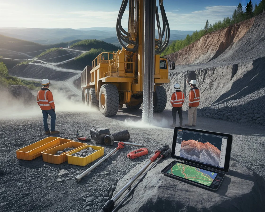
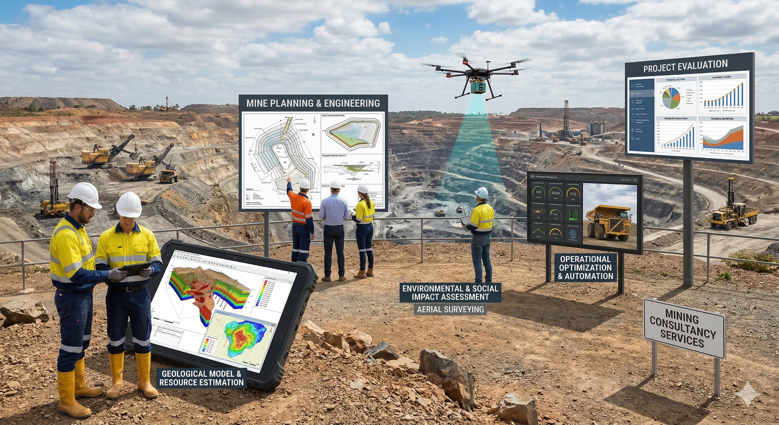
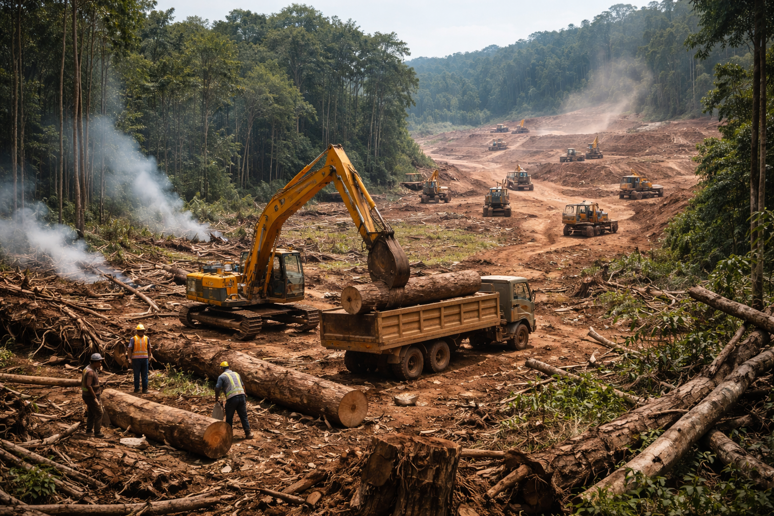
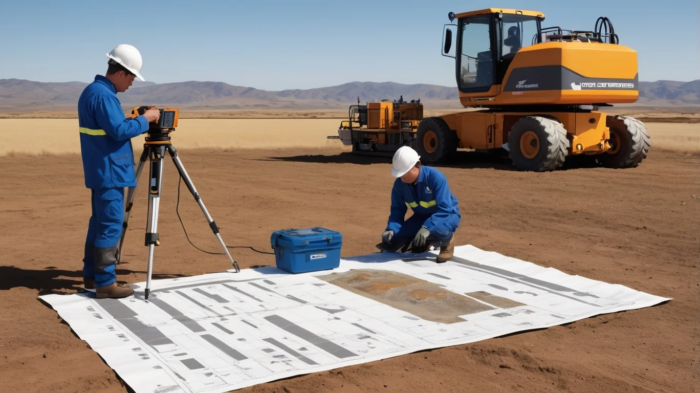
GSME Enterprises provides end-to-end consultancy services for the mining and environmental sector. From initial geological surveys to final regulatory approvals.
Our team of certified geologists, environmental scientists, GIS specialists and licensed drone operators deliver accurate, timely and compliant solutions for mining projects across India.
500+
Projects Done
18+
States Covered
24+
Years Experience

24+ Years
Expert Service